The Food and Agriculture Organisation of the United Nations (FAO) has introduced a powerful upgrade to its ABC-Map geospatial app, revealing that key global crops—including wheat, coffee, beans, cassava, and plantain—may lose up to half their optimal growing areas by the year 2100 due to climate change.
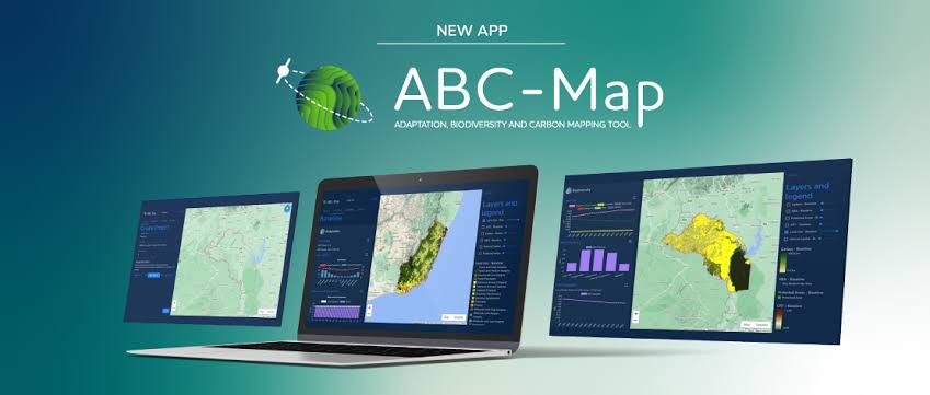
The Adaptation, Biodiversity and Carbon Mapping Tool (ABC-Map), launched in 2024, is an open-source satellite-based platform built on Google Earth Engine. It is designed to guide policymakers, technical officers, and project designers by offering insight into climate risk exposure, biodiversity indicators, and carbon mitigation potential. The latest update adds a new feature under its adaptation module, now capable of projecting future climate suitability for major crops across multiple emissions scenarios.
According to FAO’s Senior Natural Resources Officer for Climate Change, the new data is timely and critical, especially as farmers and governments grapple with climate-induced disruptions such as heatwaves, droughts, and flooding. He noted that with weather becoming increasingly erratic, the tool can help determine whether current crop choices and agricultural investments will remain viable or need adaptation.
The newly integrated indicator is powered by findings from a study commissioned by the International Fund for Agricultural Development (IFAD) and funded by the French Development Agency (AFD), carried out by French fintech startup Finres. The study, titled “Have crops already reached peak suitability?”, uses a novel methodology to analyse how climate change is shrinking the optimal zones for cultivating major staple and cash crops.
It concludes that five out of nine crops assessed—including coffee, wheat, beans, cassava, and plantain—are already experiencing reduced suitability. The threat is especially stark for coffee, with significant declines projected in key growing regions by the century’s end. Wheat and beans are also at risk, particularly in areas like North America and Europe. Although crops like maize and rice might temporarily benefit from new suitable zones, researchers warn this trend could reverse under high-emission scenarios as the century progresses.
The ABC-Map upgrade now enables users to input a geographic location and select from 30 crop options, including those most affected. It then generates a crop suitability score for two emissions scenarios, projecting shifts in climate suitability over time until 2100. Previously, the adaptation section only provided historical weather data such as past rainfall and temperature trends. With this update, the tool now supports forward-looking climate planning.
Later this year, FAO plans to expand ABC-Map even further with new indicators that track livestock heat stress and crop water requirements—both vital for building resilient agricultural systems in a changing climate.
ABC-Map is part of the COP28-endorsed Agriculture, Food and Climate National Action Toolkit. It serves as a strategic technical resource for countries aiming to develop climate-smart policies and implement agrifood system transformations. The tool was initially unveiled during an expert panel session of the Food and Agriculture for Sustainable Transformation (FAST) Partnership at the Global Forum for Food and Agriculture in Berlin.


")